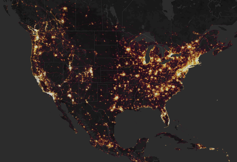
Earlier this year, there was a massive drop of information that the US government (and many other governments) spend millions of dollars to protect. This was the location of military sites, including some that were pointed out as possible black sites, around the world. This was not a result of sophisticated espionage networks or cyber intrusions but because of a simple app that many of us runners and cyclists use – Strava.
After Strava Heat Map Revealed Military Sites, Fitness Tracking Bans Are Issued to Active Duty Military
What Happened with the Strava Heat Map?
I had read about this and meant to write about it when it happened but I was in the middle of some serious travel and it never got to the top of my list. But, now, the Pentagon has (finally) made a move on how to handle the issue so I thought it was a good time to revisit it.
The Heat Map Problem
Link: The Strava Heat Map
What had happened was that Strava had released a heat map that showed over 700 million activities worldwide and allowed people to peruse the map to see where people did various activities like running and cycling. It was a nice top-down way to observe where some of the “hottest” areas in the world were for fitness activities.
The numerous routes of fitness minded workers at the Embassy of Russia in Damascus Syria. Including whatever “The White House” is:https://t.co/uRyRwWQrIP pic.twitter.com/PMdjMZo4Mi
— Mr Ghostly (@Mr_Ghostly) January 29, 2018
Cross-referencing @mjranum’s recent post about using Google Maps to identify CIA “Black” sites in Djibouti, with the #Strava heat-map, appears to offer corroboration https://t.co/PfXDqRIvSS pic.twitter.com/GlxWOoKWcj
— Alec Muffett (@AlecMuffett) January 28, 2018
hmmm i wonder whats at this random heavy route in what looks like a mountainous and remote area of libya. Oh look some bunkers that were targeted in 2011 pic.twitter.com/gg5VFIPVQZ
— Lost Weapons (@LostWeapons) January 27, 2018
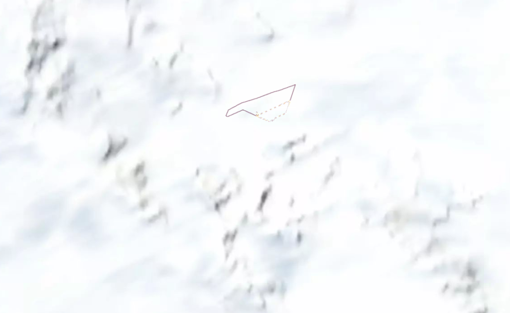
However, many people that deep-dived into the map found routes and patterns in areas where no on thought anyone, let alone athletes with a routine and route, would be. This included such things as military bases and covert bases around the world as well as highlighting some interesting activity like some runner in Antarctica at a base and what route he/she followed.

The snowy running route deep in Antarctica
The Ban Issued by the Pentagon
There are certainly some interesting things to check out but, naturally, it was very disturbing to the defense heads that all the money they spent to hide their sites was negated by a simple consumer GPS device or phone by their fitness-conscious employees around the world.
This gave enemies an easy way to spot where military members took their runs as well as draw conclusions on where the bases may actually be. It has been 7 months since this came to light and the Pentagon has released their way of preventing further tracking.
According to Popular Mechanics, here is what the ban is about: “Effective immediately, all active duty Department of Defense personnel are prohibited from using tracking functions on their phones and devices in Operational Areas (any place where the military is conducting a specific mission). Commanders can allow use on a case-by-case basis only after doing a security survey.” This was on August 10, 2018.
As the article states, this does not directly link the Strava heat map to the decision but it was definitely something that spurred a lot of discussion in Washington, DC.
This is just another example of how consumer technology and it can go faster than many can keep up with it. The Strava heat map is still up for anyone that wants to locate cool places to run but I doubt the next one will have any secret military routes on it!


